
Done!
Loading content...

Choose a method to get started. No matter what you pick, we'll respond promptly with the professional care you deserve.


Block-by-block variability sees higher property crime near industrial zones and apartment complexes.
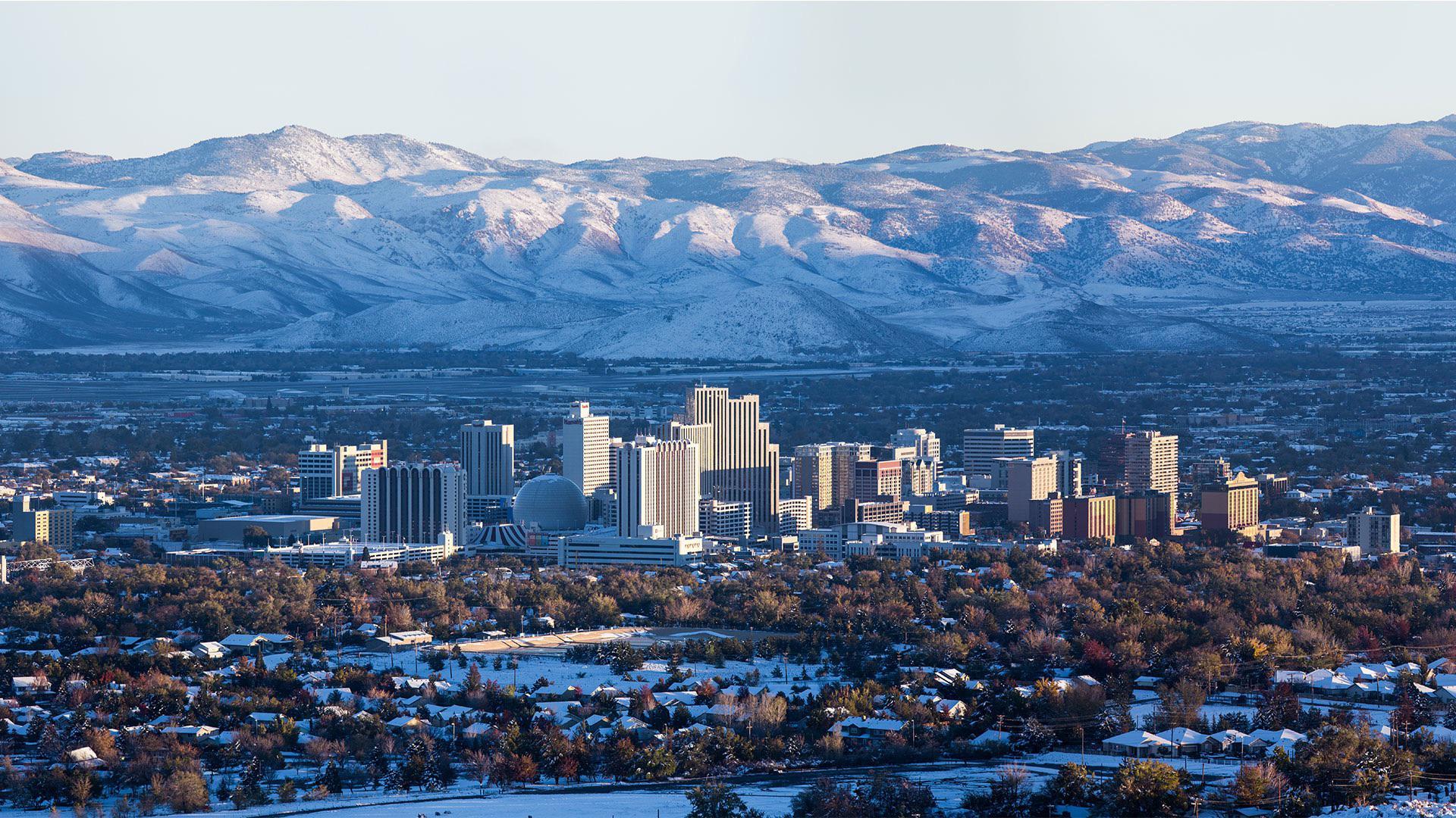
An established sector bounded by McCarran Boulevard, North Virginia Street, and the University of Nevada, Reno campus, featuring diverse housing stock, commercial corridors, and institutional land uses with varying development eras¹.
Approximately 18,500 residents across 5.2 square miles, with median household income of $78,000 (18% above city median). Owner-occupancy rates range from 45% in pre-1970s zones to 72% in newer subdivisions².
Notable mix includes mid-century ranch homes (55% of stock), apartment complexes (30% near UNR), and post-2000 infill developments (15%) with dissimilar security postures³.
2023 data shows 68% of reported crimes occur within 1,000 feet of commercial corridors (Virginia Street, Plumb Lane). Residential burglary rates are 27% higher in blocks adjacent to multi-family properties⁴.
Commercial robbery decreased 15% year-over-year following installation of coordinated camera networks in retail nodes, though residential package theft remains prevalent⁵.
Arterial roads operate at Level-of-Service D during peak hours, with 12% of residential streets lacking sidewalks. Alleyway access behind older properties presents visibility concerns⁶.
Portions north of 9th Street experience 30% more power outages annually than city average due to aging above-ground distribution lines⁷.
UNR employs 5,200 staff, generating high pedestrian traffic. Medical facilities (Renown Regional Medical Center) create 24/7 activity patterns influencing neighborhood circulation⁸.
Student-occupied rentals comprise 38% of housing near campus, correlating with higher tenant turnover and periodic property vacancies during academic breaks⁹.
Oxbow Nature Study Area and Rancho San Rafael Park attract 750k annual visitors, with parking overflow impacting adjacent residential streets during peak seasons¹⁰.
City audits identify 42% of residential blocks with street lighting gaps exceeding recommended spacing standards, concentrated in pre-1980s subdivisions¹¹.


.svg)


.svg)

.svg)
.svg)
.svg)

.svg)
.svg)


