
Done!
Loading content...

Choose a method to get started. No matter what you pick, we'll respond promptly with the professional care you deserve.

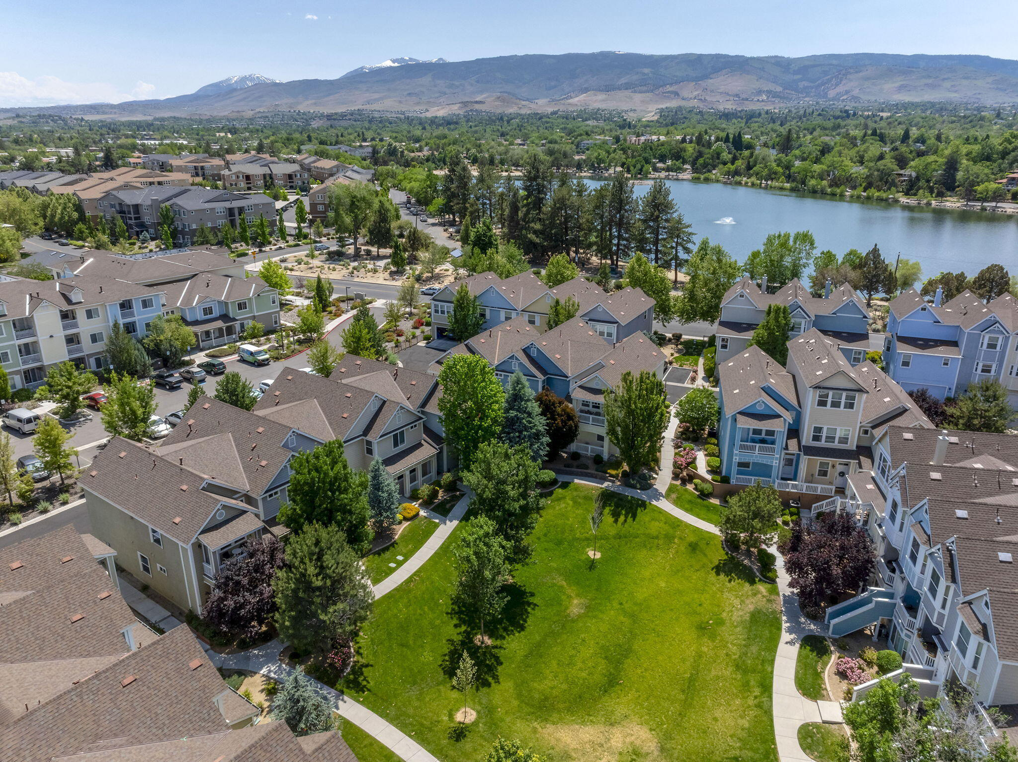

Apartment density near I-580 increases exposure to property theft and vehicle crimes.
Defined as the area east of US-395 to the Carson City line, this sector features a mix of industrial land uses, master-planned communities, and older residential neighborhoods, with significant topographical variations from valley floor to foothills¹.
Approximately 27,000 residents with 38% growth since 2020. Median household income is $94,000 (38% above city median). Homeownership rates range from 52% in core industrial-adjacent zones to 89% in newer eastern subdivisions².
Sharp divergence between 1960s-1980s ranch homes (45% of stock) near industrial corridors and post-2000 planned communities (Damonte Ranch) with integrated security features³.
Areas within 1,000 feet of industrial zones report 2.8x more property crime incidents than interior residential blocks. Theft of catalytic converters peaks near freight corridors⁴.
High-density apartment clusters (18-22 units/acre) near retail nodes experience 41% higher vehicle break-ins than single-family zones, correlating with 35% renter turnover rates⁵.
Peak-hour congestion on I-580 and South McCarran Boulevard creates 18-minute average emergency response times (vs. 8-minute city average). 27% of local roads lack sidewalks⁶.
Above-ground transmission lines serve 78% of eastern foothills, contributing to outage durations 3.2x longer than city average during wind events (NV Energy 2023 data)⁷.
Industrial parks (Southeast Connector area) employ 12,000 workers. Shift work patterns create non-standard activity cycles, with 24/7 operations at logistics facilities⁸.
Rosewood Lakes Golf Course and wetlands trails attract 420k annual visitors. Limited parking enforcement creates overflow issues in adjacent residential streets⁹.
BLM-designated "Very High" hazard zones cover 58% of eastern foothills. Limited secondary access routes exist in multiple subdivisions per Fire District mapping¹⁰.
City audits identify 37% of residential blocks with street lighting gaps exceeding 300-foot spacing standards, concentrated in pre-1990s subdivisions¹¹.


.svg)


.svg)

.svg)
.svg)
.svg)

.svg)
.svg)


