
Done!
Loading content...

Choose a method to get started. No matter what you pick, we'll respond promptly with the professional care you deserve.


Sporadic retail and vehicle theft occurs near commercial corridors despite family-oriented safety.
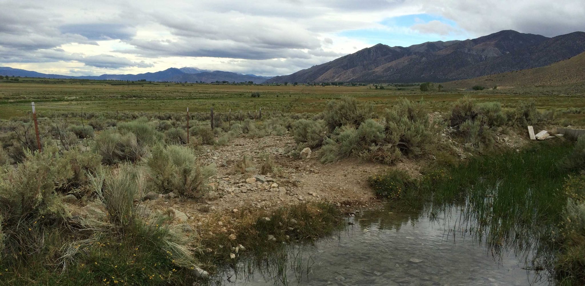
Encompassing areas south of Plumb Lane to the Mount Rose Highway corridor, this sector blends established residential neighborhoods, golf course communities, and commercial hubs along South Virginia Street, with significant elevation variations creating distinct sub-areas¹.
Median household income ranges from $85,000 in mid-century subdivisions to $210,000 in gated enclaves like Montreux. Overall homeownership is 71%, dipping to 48% in high-density apartment zones near retail corridors².
Notable mix includes 1960s-1980s single-family (55%), luxury estates (20% in foothills), and multi-family complexes (25%) concentrated near shopping centers. Lot sizes vary from 0.1 acres to 5+ acres³.
Areas within 500 feet of South Virginia Street experience 3.2x more vehicle break-ins than interior residential blocks. Retail theft patterns show displacement toward parking structures during enhanced patrols⁴.
Vacation properties near Mount Rose Highway exhibit 28% higher off-season burglary rates compared to year-round occupied homes (RPD Southwest Command data)⁵.
Peak congestion on Mt. Rose Highway (LOS F) and South McCarran Boulevard increases emergency response times by 18% during winter recreation periods⁶.
The Caughlin Ranch fire perimeter intersects western neighborhoods, with 63% of parcels rated "High" or "Very High" risk due to chaparral fuels and canyon wind effects⁷.
Retail hubs (The Summit Reno) employ 2,100 workers, generating high vehicle turnover. Medical facilities (Saint Mary's Regional Medical Center) contribute to 24/7 traffic flows⁸.
Short-term rental density reaches 12% in foothill zones, correlating with increased after-hours noise complaints and parking disputes in cul-de-sacs⁹.
Truckee River access points and golf courses draw 550k annual visitors, creating pedestrian cut-through traffic in adjacent residential streets with limited lighting¹⁰.
Above-ground power lines in older subdivisions contribute to outage durations 45% longer than city average during wind events (NV Energy reliability metrics)¹¹.


.svg)


.svg)

.svg)
.svg)
.svg)

.svg)
.svg)


