
Done!
Loading content...

Choose a method to get started. No matter what you pick, we'll respond promptly with the professional care you deserve.

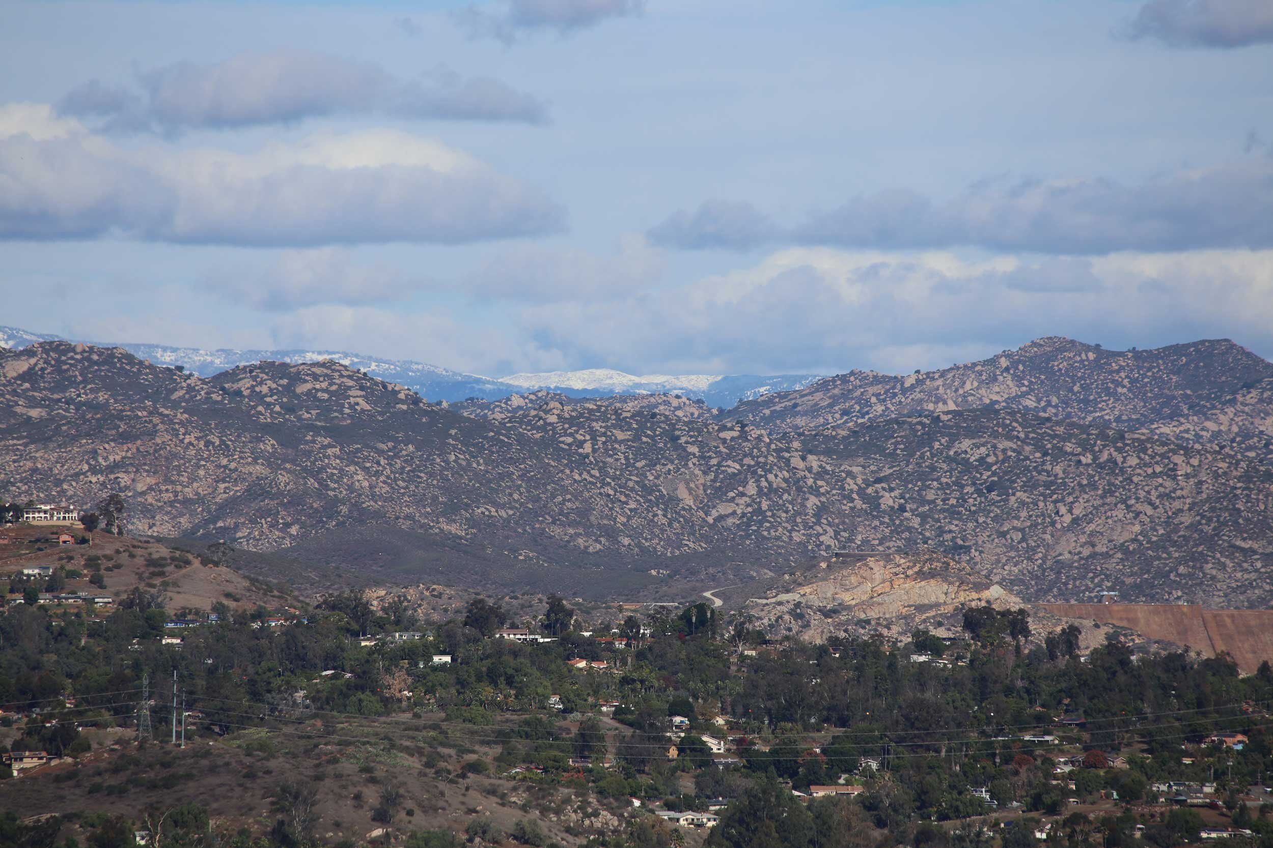

Foothill adjacency creates unique response challenges despite minimal current crime.
A luxury aviation-oriented community adjacent to Reno-Stead Airport in northwest Reno, featuring custom estates with private hangars, aviation facilities, and extensive interface with high-desert terrain at approximately 5,000 feet elevation¹.
Approximately 850 residents across 2.5 square miles. Median household income is $212,000 (172% above city median). Minimum lot sizes of 1.25 acres, with 100% custom-built homes averaging 4,800 sq ft².
78% of properties include private hangars. Perimeter fencing covers 65% of boundaries; 42% of hangars lack integrated security systems per county code compliance surveys³.
2023 sheriff data indicates 89% of incidents are property-related. Hangar burglaries account for 37% of reports, concentrated among non-resident-accessible hangar rows⁴.
Aircraft equipment theft represents 22% of property crimes. Seasonal vacancy rates exceeding 30% November-March correlate with 41% of annual burglary incidents⁵.
Two primary access roads (Sky Ranch Drive, Mustang Drive) experience winter closures averaging 8 days annually. Emergency response times average 22 minutes (Washoe County metrics)⁶.
The community lies entirely within BLM-designated "Extreme" wildfire hazard zone. Downslope winds create ember cast potential 1.2 miles beyond perimeter fuels⁷.
61% of household heads hold aviation-related occupations. 48% report >15 nights/month travel, creating irregular occupancy patterns⁸.
Fixed-base operator (FBO) facilities generate 32,000+ annual non-resident vehicle trips. Transient aircraft parking averages 18 daily rotations during event seasons⁹.
Elevation differentials exceeding 400 feet create surveillance blind spots. Ravine systems provide undetected access to 28% of perimeter properties¹⁰.
Off-grid power systems serve 39% of properties. Cellular coverage gaps affect 53% of eastern parcels per FCC coverage maps¹¹.


.svg)


.svg)

.svg)
.svg)
.svg)

.svg)
.svg)


