
Done!
Loading content...

Choose a method to get started. No matter what you pick, we'll respond promptly with the professional care you deserve.


Retail centers attract theft, though violent crime remains uncommon in this suburban area.
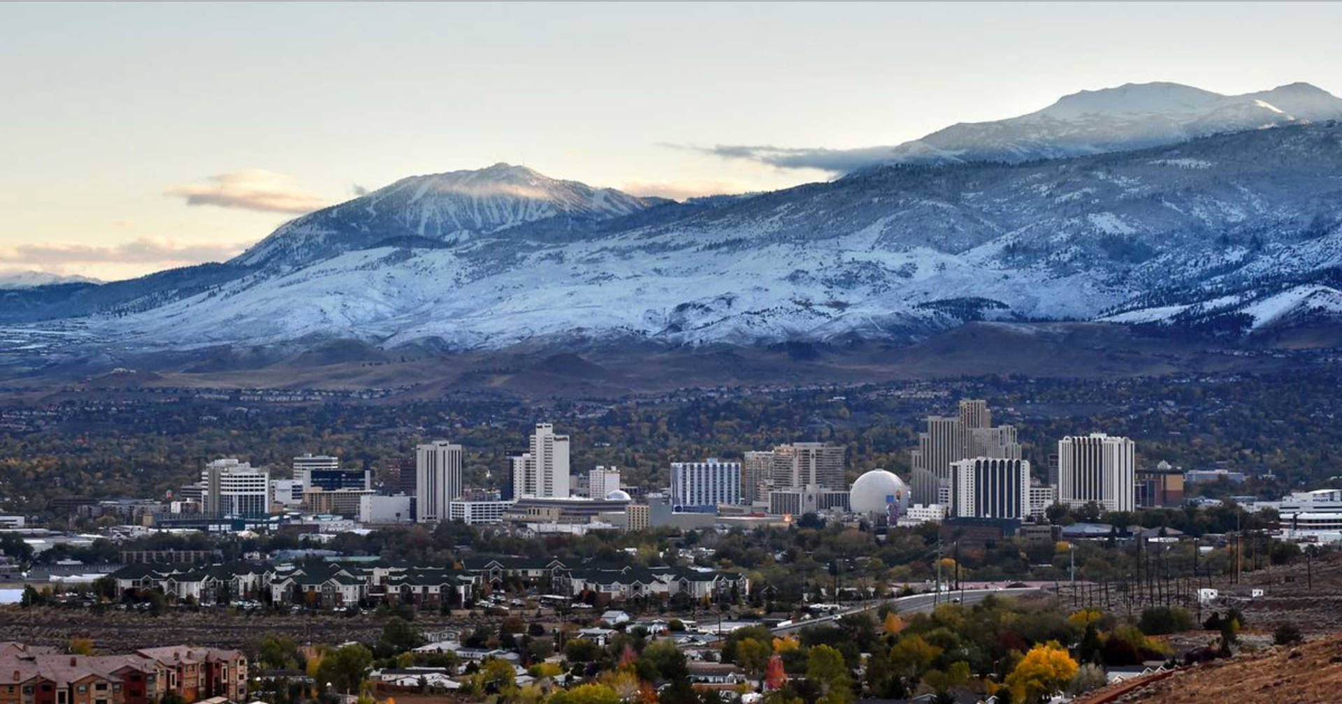
Defined as the area south of Mount Rose Highway to the Washoe County line, this sector features rapid residential growth, master-planned communities, and expanding commercial corridors along South Meadows Parkway and Veterans Parkway, with significant elevation transitions toward the Carson Range foothills¹.
Population increased 32% since 2020 to approximately 35,000. Median household income is $103,000 (52% above city median), with 73% homeownership. New construction accounts for 45% of housing stock².
Sharp divergence between high-density apartment clusters near retail (15-22 units/acre) and low-density estate parcels (1-5 acre lots) in southern foothills, creating disparate security profiles³.
Retail centers along South Meadows Parkway generate 57% of reported vehicle break-ins and retail theft incidents, with spillover affecting adjacent residential streets within 300 feet⁴.
Active development zones report 3.2x higher equipment/material theft rates than established areas (Washoe County Sheriff's Office 2023 data)⁵.
Peak-hour volume-to-capacity ratios exceed 1.0 on Veterans Parkway and South Meadows Parkway, contributing to 12-minute average emergency response times (vs. 8-minute city average)⁶.
BLM-designated "Very High" wildfire hazard zones cover 61% of southern foothill parcels, with limited secondary access routes in multiple subdivisions⁷.
Technology and logistics employers (Tahoe-Reno Industrial Center) draw 15,000+ daily commuters through residential corridors. Remote workers comprise 39% of employed residents⁸.
Short-term rental concentration reaches 18% in ski-access subdivisions, correlating with 41% higher unauthorized parking incidents in HOA-managed communities⁹.
Rosewood Lakes Golf Course and Thomas Creek trailheads attract 290k annual visitors, creating intermittent pedestrian traffic through residential cut-through paths without lighting¹⁰.
Newer subdivisions rely on centralized utility plants; single-point failures could affect 5,200 homes during extreme weather events per NV Energy contingency modeling¹¹.


.svg)


.svg)

.svg)
.svg)
.svg)

.svg)
.svg)


